Description
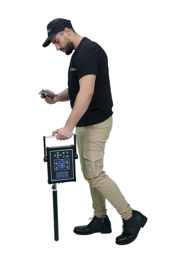
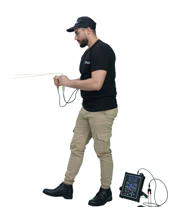
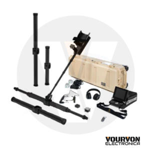
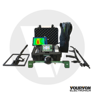
GEO X-4 PROFESSIONAL 3D GROUND SCANNER
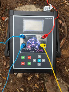
Resistivity – The compact design where you can use 3 systems together with 3D Ground Scan and Field Scanning System.
It allows you to detect differences under the ground such as metal objects, rooms, tunnels, caves, tombs and make 3D analysis. Through its 3 different system, you can minimize the margin of error. GEO X-4, designed specifically for deep search, can easily detect targets at depths that other systems cannot reach in any environment.
With its 3D ground scan system, it allows you to detect differences under the ground and make 3D analysis. It enables you to detect, measure, and locate buried metals, magnetic objects, and cavities such as tombs, rooms, tunnels under the ground.
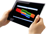
It graphically displays magnetic (iron or steel) and non-magnetic (gold, silver, or copper) metals through its specially developed 3D analysis software.
It allows you to find big structures under the ground (room, tunnel, cave etc.), ground waters, mines through the resistivity system.
Thanks to the high electric current it sends into the ground through metal probes, all findings are based on scientific facts. This technique is also used in archaeological studies and structural surveys.
The obtained results appear numerically on the screen of the device. These data represent the irregularities under the ground.
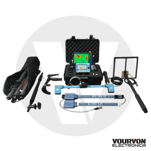
It helps you to narrow down the area to scan and minimize your operating field in large areas with its Field Scanning System. Through its Digital Frequency Syntheses, it makes frequency oscillation with microprocessor controlled constant signal for gold, silver, copper, bronze, iron, lead, aluminum.
Capture Compare Hardware analyses all kinds of ground structures and adjusts the signal automatically. Field Scanning Systems are ancillary equipment for other scanning systems. They are usually used in order to narrow down the area where location of the target is unknown.
Through its licensed 3D analysis application that can be used in Windows and Android operating systems, you can make 3D analysis of your data and have an idea about the size, shape, and depth of the target.
